图片提示词prompt
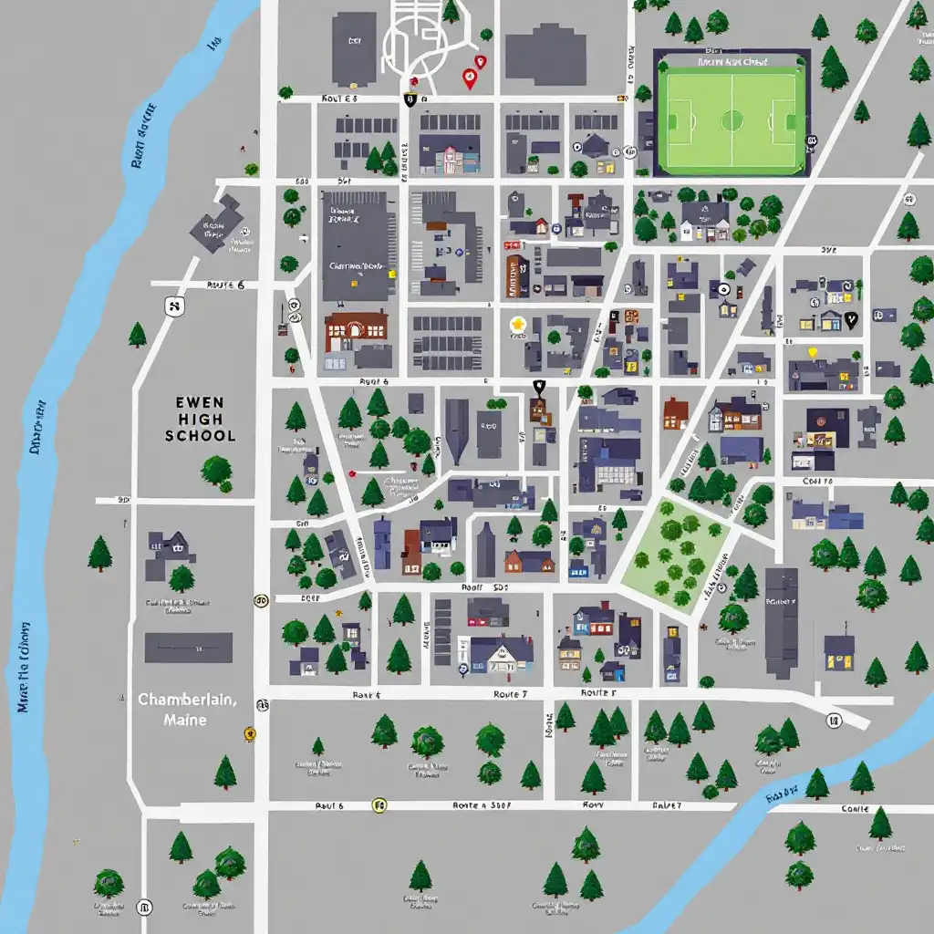
I want a map of a small city in Maine. This visual representation of the town and its surrounding areas must include a detailed analysis of the connections between the locations and the main events. The name of the town in chamberlain. The map need to have all of those elements. The main high school is Ewen high school but there is also other less important high school in the cities, Westover and Lewiston. The main caracheter house is a white suburban bungalow in Carlin street. The house is white has blue shutter and ivy on the west side of the house. Carlin street cross with Ewen avenue at a stop light. There is a golf and a big center in the cities. They play baseball in that center. Near the center there a small shop called the Kelly fruit compagny wear the teen hang out. There is also a closed recreation centre.
There is two fabric shop, John’s westover that is more luxurious and chamberlains Woolworth. There is a bar called the cavalier. At the north of the cities there’s a farm , Irwin henty’s farm. Near the high school there is Brickyardhill. There is route 6 and route 302 that passed on the hill. The route 6 leads to town and to the church. Each place and road need to be identified
我想要一张缅因州一个小城市的地图。城镇及其周边地区的视觉表现必须包括对地点和主要事件之间联系的详细分析。张伯伦镇的名字。地图需要所有这些元素。主要的高中是Ewen高中,但在城市中还有其他不太重要的高中,Westover和Lewiston。caracheter的主要房屋是Carlin街的一座白色郊区平房。房子是白色的,房子的西侧有蓝色的百叶窗和常春藤。卡林街与Ewen大道在红灯处交叉。城市里有一个高尔夫球场和一个大中心。他们在那个中心打棒球。在中心附近,有一家名为the Kelly fruit compagny wear the teen闲逛的小商店。还有一个封闭的娱乐中心。
有两个面料店:
生成参数
使用模型
模型分类
prompHero 更多作品